Outdoor Atlas 2.0.2.4
Free Version
Publisher Description
Outdoor Atlas is thought to be the companion for all your outdoor activities. It supports you offroad where classical street maps and navigation are of no help.
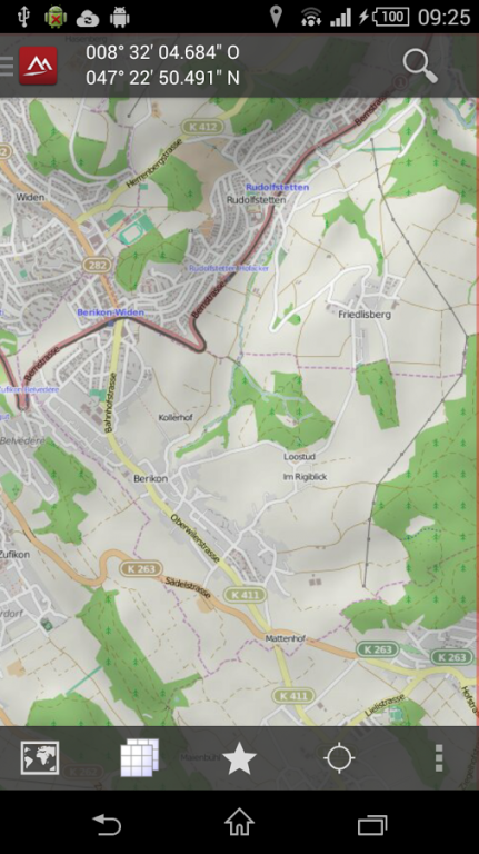
With the built-in GPS, Outdoor Atlas always shows you your actual position on detailed topographic maps together with appropriate coordinates. The maps are downloaded once on request and stored locally to be used when no GSM connection is available. Currently, following maps are provided:
✔ OpenStreetMap
Additional professional maps can be bought as In-App products. Currently available:
✔ Britain (Ordnance Survey maps)
✔ North America Maps (myTopo maps, installable as plugin)
✔ New Zealand (NZTopoMaps, installable as plugin)
✔ Spain (IDEE maps, installable as plugin)
✔ Norway (Statens kartverk, installable as plugin)
✔ Finland (installable as plugin)
Application features:
✔ Supports internal and external (Bluetooth) GPS devices
✔ Supports built-in digital compass, respects declination
✔ Import / export tracks, waypoints in GPX or XOL format into internal database
✔ Built-in track editor, fully routing-capable
✔ Support WGS84, UTM, OSGrid, TM35FIN, SWEREF99 TM and LV03 coordinates
✔ Download map tiles once and use them offline
✔ Moving-Map mode (keep your position always centered on the screen)
✔ Search geolocations by names and address
✔ Retrieve geoinformation for position
✔ Use favorites to quickly jumpt to specific map, position, scale & layer
✔ TrackLog recording in background
✔ Follow-route mode (useful when visibility is bad)
✔ Goto-Waypoint mode (useful for geo-caching to find exact location)
✔ Infopanel shows you up-to-date information about position, tracklog and waypoint parameters
✔ Browse through the tour database with over 30'000 suggestions for outdoor adventures(hiking, cycling, mountain biking, inline skating, mountaineering, jogging etc.) in the Alps incl. tracks and desciptions.
✔ Browse tour reports from hikr.org
✔ In-App Shop to buy professional maps and app extensions (plugins)
✔ Synchronize your local track data with your favorite web portal, currently supported are SchweizMobil, outdooractive and gpsies.com
Please Note:
This app is going to be decommissioned on 31th of December 2019.
About Outdoor Atlas
Outdoor Atlas is a free app for Android published in the Recreation list of apps, part of Home & Hobby.
The company that develops Outdoor Atlas is Corridor 5. The latest version released by its developer is 2.0.2.4. This app was rated by 4 users of our site and has an average rating of 4.0.
To install Outdoor Atlas on your Android device, just click the green Continue To App button above to start the installation process. The app is listed on our website since 2019-06-08 and was downloaded 94 times. We have already checked if the download link is safe, however for your own protection we recommend that you scan the downloaded app with your antivirus. Your antivirus may detect the Outdoor Atlas as malware as malware if the download link to ch.corridor5.opm is broken.
How to install Outdoor Atlas on your Android device:
- Click on the Continue To App button on our website. This will redirect you to Google Play.
- Once the Outdoor Atlas is shown in the Google Play listing of your Android device, you can start its download and installation. Tap on the Install button located below the search bar and to the right of the app icon.
- A pop-up window with the permissions required by Outdoor Atlas will be shown. Click on Accept to continue the process.
- Outdoor Atlas will be downloaded onto your device, displaying a progress. Once the download completes, the installation will start and you'll get a notification after the installation is finished.
